Submitted by Friends of the San Juans.
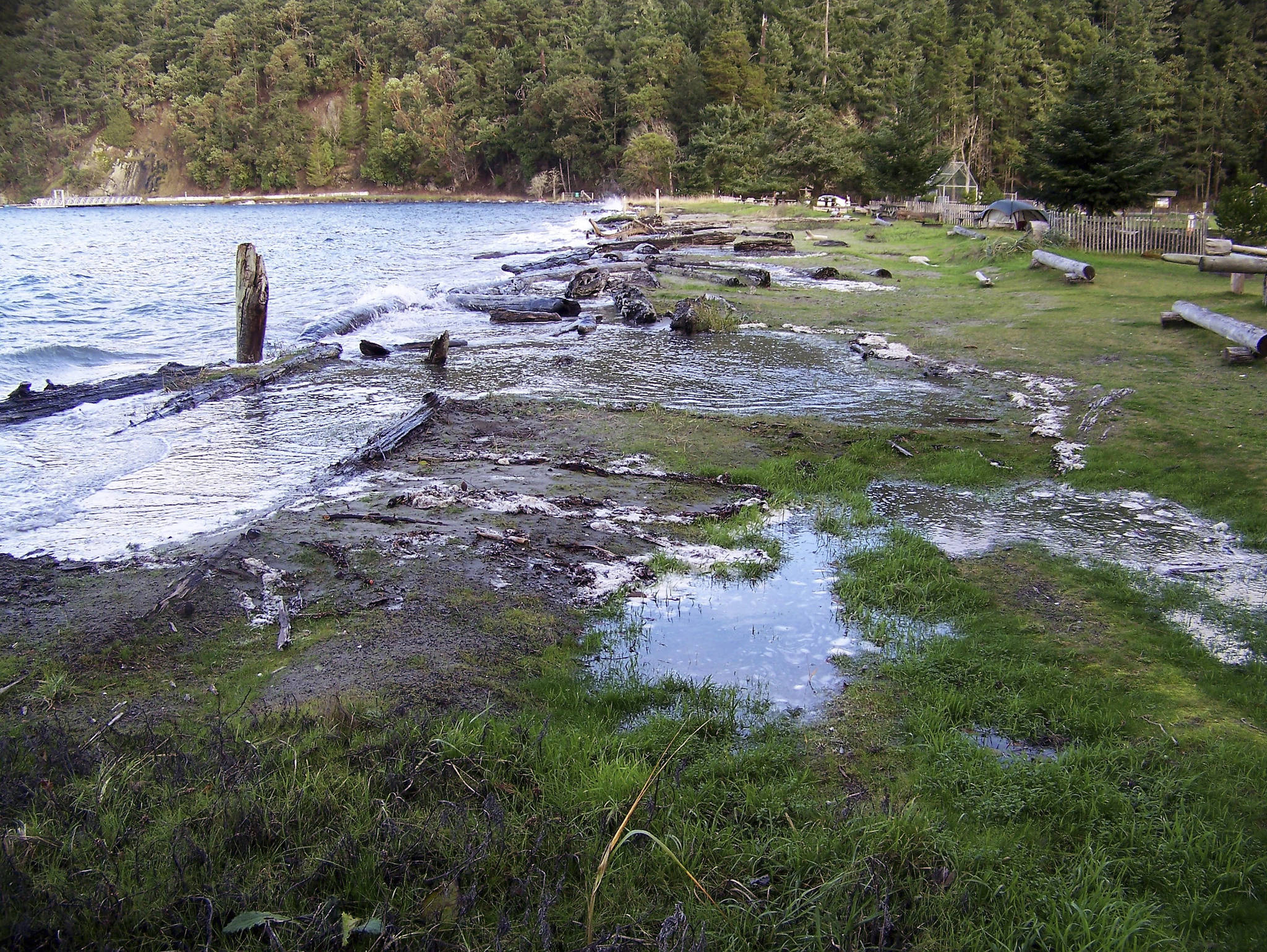
As residents of a community of islands, we are no stranger to coastal storms like the one that hit northern Puget Sound just before Christmas. While winter storms themselves are not uncommon, the larger events that cause serious damage from erosion or flooding are actually quite rare here in the San Juans. Unlike the open coast and other parts of the country where erosion is measured in feet not inches, long-term annual erosion rates in the islands average an inch or less annually for most shorelines. Even the most rapidly eroding areas – the sediment supply or ‘feeder’ bluffs – erode at an average rate of under six inches per year here in the San Juans.
However, as many of you have likely experienced, shoreline erosion doesn’t happen in an orderly, per year, linear manner. Instead, larger events that cause impacts well beyond the average erosion rate will be followed by years or even decades of essentially no change. The weeks and months following these larger but rare storm event are when concerned property owners seek out new hard armoring of shorelines. Yet understanding long-term erosion rates at a site can help property owners avoid expensive and potentially unnecessary shoreline armoring. Expert Jim Johannessen of Coastal Geologic Services, who has over 30 years of experience in the area, estimates that there are hundreds of unnecessary bulkheads in the San Juans that are located at places with low natural erosion rates. In addition to the high costs of designing, permitting, and installing a bulkhead, shoreline armoring degrades the value of the beach for fish, wildlife and ultimately people, as armored beaches coarsen and narrow over time.
In complex, dynamic systems like marine shorelines, solutions need to start with understanding the specific site and tailoring the solutions to achieve multiple benefits. One good local example of a project that worked with nature is located on multiple adjacent properties just west of the airport on the north shore of Orcas Island. This pioneering project removed large rock armoring that was negatively impacting the beach (as well as the landowner’s ability to even get to their beach) and replaced it with an extensive gravel berm and vegetated backshore area. After 25 years, this project, which has high wave exposure as it faces Georgia Strait, continues to provide the co-benefits of reduced erosion rates, improved beach access for people, and natural habitat for fish and wildlife. In fact, the project has been so successful that additional landowners further west worked to complete a similar project.
Coastal storms can provide a glimpse into the future as shores that are vulnerable to flooding and erosion today are also likely to be most affected by sea level rise. To better understand what sea level rise might mean for property and coastal habitats in our community, Friends of the San Juans and experts at Coastal Geologic Services completed a countywide assessment of flood and erosion hazards. This mapping project highlights where public infrastructure and private developments will be impacted from flooding and erosion; it also identified priority habitats and species that are vulnerable. Results found that while just two miles of public roads are at risk to flooding and erosion today, that number jumps to 11 miles under moderate sea level rise projections and 20 miles with high sea level rise projections. This effort differs from the recently updated FEMA floodplain maps in a few important ways. The FEMA maps only look at flooding and deal with storm scenarios under present sea levels while the Friends of the San Juans’ vulnerability mapping considered erosion hazards as well as inundation and ran multiple scenarios for the future using both moderate and high sea level rise projections.
There just might be a silver lining hidden in all this worry about coastal hazards and rising seas as planning ahead can identify opportunities to provide benefits that go well beyond cost savings and public safety. For example, at Agate Beach County Park on Lopez Island, the County’s plan to reroute the road away from the eroding bank will achieve its primary goal of keeping drivers safe. But it also restores shoreline habitats for fish and wildlife and improves recreational access by supporting the removal of the extensive large rocks that currently bury much of the Park’s intertidal beach.
The shorelines in the islands have been highly resilient to past storms and natural shorelines can help withstand significant events into the future. Preparing and planning ahead at both the site and county-level can bring us all positive benefits. For more information on technical resources available to shoreline property owners, contact Friends of the San Juans at 360-378-2319 or visit https://sanjuans.org/sealevelrise/