
Though the islands seem safely protected in Salish Sea from any tsunami threat, simulations tell a different story. In a video released by the Washington State Department of Natural Resources on Aug. 26, San Juan, Lopez and Orcas islands are all potential recipients of waves more than 10-feet tall.
“This video is a great tool for communicating the non-intuitive way that a tsunami would behave in the islands. It doesn’t simply wash up against the west side of San Juan. … Rather, it’s a handful of narrowing bays and constriction points that are forecast to have the most impact,” San Juan County Department of Emergency Management Director Brendan Cowan said. “The damage from the tsunami may be more severe than the actual earthquake. We all need to help spread the word that in the event of an earthquake, head to high ground.”
Along with localized videos of the San Juan Islands and Bellingham, the DNR videos show a tsunami simulation as a result of the highly anticipated Cascadia subduction zone magnitude 9 earthquake for the entire Washington coast.
According to the DNR videos, the first waves would reach the outer coast approximately 15 minutes after the earthquake. The tsunami would then travel through the Strait of Juan de Fuca into Puget Sound.
The waves would begin to show at the south end of San Juan Island about 45 minutes after the quake, with maximum wave heights of more than 10 feet occurring within 90 minutes. A little over two hours after the quake, East Sound and Lopez Sound would experience wave heights exceeding 10 feet. DEM simulations exceed 15 feet wave height at the county’s lower elevations in affected areas.
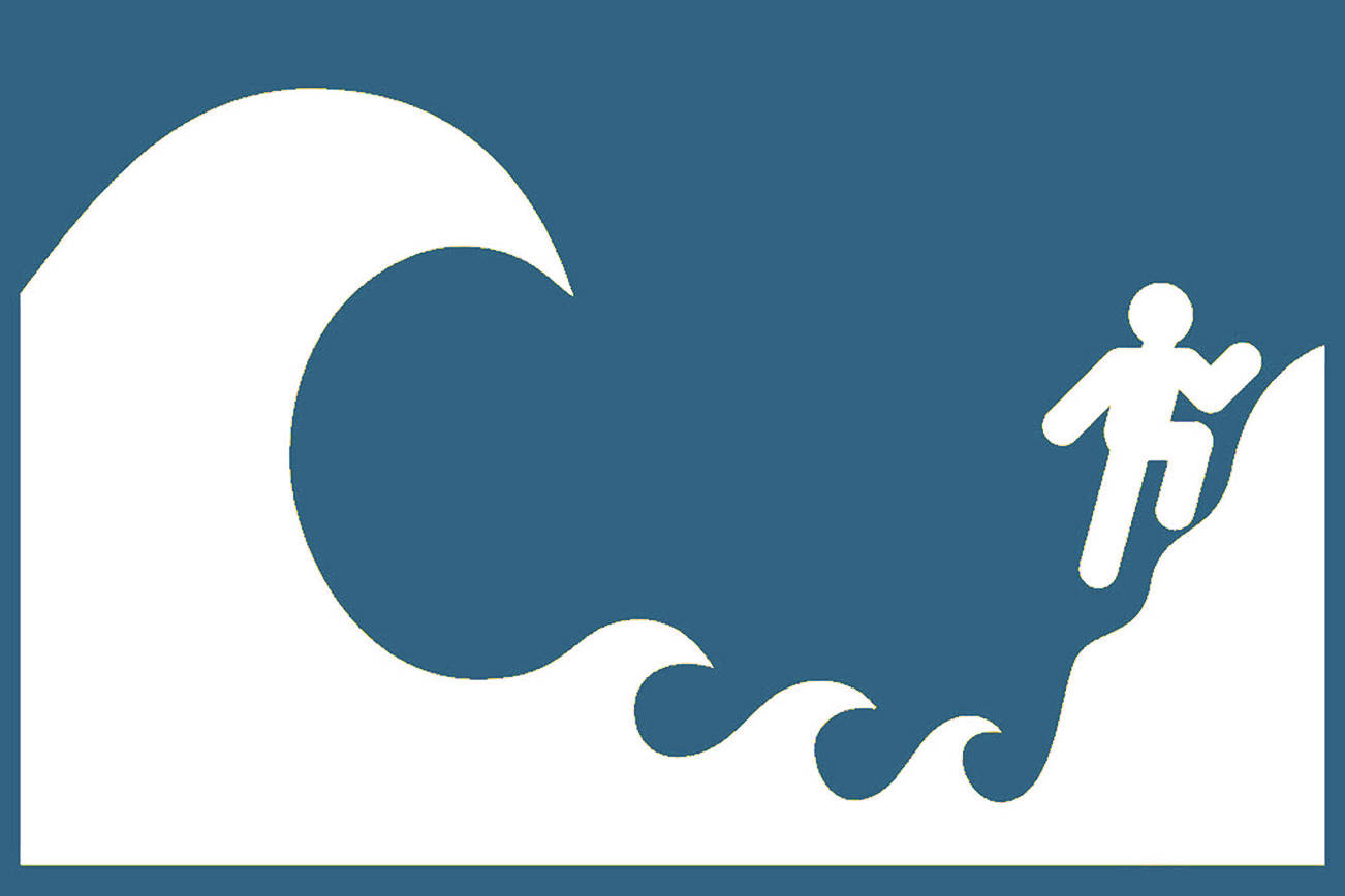
“Our warning system is that we’ll feel an enormous earthquake. Once safe to move, we should move away from the shoreline, until we’re at a height of at least 30 feet above sea level,” Cowan said. “And then we should stay high for a long time, 4 hours if we see no impacts, or 12 hours if we do.”
Cowan added that no one should try to move their boat to safety as the currents in the sound will be more than 9 knots faster than normal causing unsafe conditions. Videos of West Coast marinas following the 2011 Fukushima earthquake show the damage caused by tsunamis generated more than 4,800 miles away.
“For infrastructure that is actually in the water, even just the current speeds can be a major concern,” states the DEM’s website in a tsunami FAQ page. “All harbors and tsunamis are different, and impacts vary widely. … You want to not be anywhere near the water, regardless of what the models say.”
There are no tsunami sirens located in the San Juan Islands. On the DEM website, staff said that is because the most effective and reliable notice that an earthquake has occurred is that county residents will feel it.
Staff go on to explain that a large number of sirens would be needed to cover the islands and that they cost approximately $100,000 a piece to install and are expensive to maintain.
“We’ll also likely have plenty of time to calmly head to high ground before the surge arrives. Unlike the outer coast, tsunamis from distant, unfelt quakes are a remote risk,” staff said.
In January 1700, the last magnitude 9 earthquake struck the Cascadia subduction zone. Evidence of that quake remains to this day in sand deposits and drowned forests — like the ghost forests along Washington’s Copalis River and Oregon’s Neskowin Beach.
The Cascadia subduction zone occurs where the Juan de Fuca tectonic plate pushes under the North American plate, the length of which spans off the West Coast for more than 600 miles from northern Vancouver Island to Northern California. The subduction zone has produced megathrust quakes every 300 to 600 years, according to the DNR.
A second scenario for a local earthquake that could cause a more intense tsunami along the south end of Lopez is the Darrington-Devil’s Mountain Fault. This fault runs from west of Victoria, British Columbia, to the south of Darrington, Washington, and is capable of a magnitude 7 earthquake.
“We know tsunamis will hit our state. It’s a question of when, not if, which means we need to prepare now. Our hope is that these stark videos drive home the need for communities to take action to become more secure and resilient,” Commissioner of Public Lands Hilary Franz said in a press release about the videos.
To view the new simulations, visit https://bit.ly/2UakcB8. For more detailed maps of tsunami hazards, along with evacuation maps, preparation tips and additional information, visit https://www.dnr.wa.gov/tsunami. Learn more about San Juan County’s Department of Emergency Management at http://joomla.sanjuandem.net/.
